One of my favorite things about living in Denver is that there are so many hikes to explore! See our favorite picks below. From quick 1 mile hikes to 7+ mile treks. Grab some water, sunscreen, snacks, and head outside! Comment at the end and share your favorite Colorado hike.
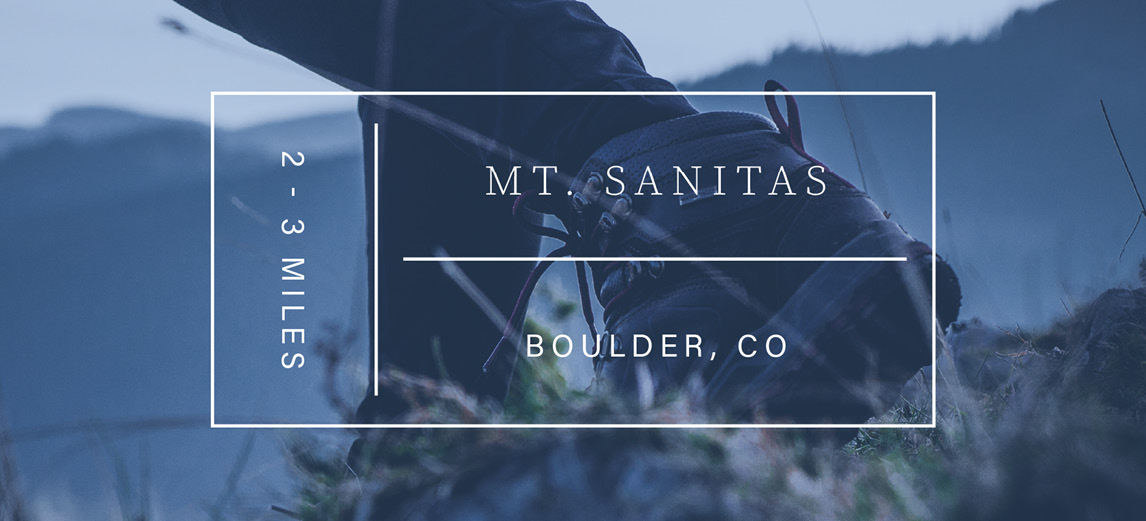
Mt. Sanitas
Jenny Usaj, Employing Broker
- Approximately 2 hours long
- Difficulty rating: Medium+
- Distance from Denver: 31 miles / 45-minute drive
- Loop trail
- Distance: 2 – 3 miles round trip
About Mt. Sanitas
With multiple trails to explore, this is a choose-your-own-adventure hike. Find a trail map here. There is a more challenging 3.1-mile loop, or you can decide to take it easy with two less intense options.
- Option 1: The Mt. Sanitas Loop / 3.1 Mile Loop / Medium+
- Option 2: Mt. Sanitas Valley Hike / 2 Mile Out-and-Back / Easy
- Option 3: Dakota Ridge Trail at Mt. Sanitas / 2 Mile Loop / Easy+
North Table Mountain Outer Rim Loop
Andrea Henderson, Broker Associate
- Distance: 7.2-mile loop
- Distance from Denver: 18.5 miles / 29-minute drive
- Difficulty rating: Moderate
About North Table Mountain Trail
Close to Denver and sporting impressive views of the city, this trail is easily accessible. Be prepared for a 1,000 foot gain in elevation and soak up the excellent views of the Front Range. Terrific hike with your (leashed) dog. Make sure you conclude your hike with a cold beer at the New Terrain Brewery, a location near the base of North Table Mountain. Cheers!
St. Mary’s Glacier
Kira Fleisher, Broker Associates
- Distance: 2.4 out and back trail
- Distance from Denver: 47 miles / 56-minute drive
- Difficulty rating: Moderate
About St. Mary’s Glacier Trail
This iconic area is a favorite when the temps in Denver hit the 80s and 90s. There is a $5 parking fee so remember to bring some cash. A short but steep trail brings you to the idyllic St. Mary’s Lake and from there, you can climb up the Glacier. Bring your traction devices or plan to hike alongside the ice flow. Magnificent views, superb location for a picnic and remember to dip your toes in the frigid lake!
Chimney Gulch
- Difficulty Rating: Moderate
- Distance from Denver: 16.6 miles / 20-minute drive
- Type of Trail: 6.5 miles, out and back
About Chimney Gulch
A very popular trail for both hikers and cyclists. You’ll love the variety of terrain and views offered by this easily accessible hike. Be aware this trail is shared by hikers and bikers.
Mt. Falcon
Kristina Casinelli, Broker Associate
- Difficulty rating: Moderate
- Distance from Denver: 19 miles / 27-minute drive
- Type of Trail: Loop
- Distance: 7 miles
About Mt. Falcon
This is a favored hike that sees a fair amount of traffic. Be advised when conditions are wet, the trail will be closed. Lots of open areas so make sure to bring along sunscreen. You’ll be treated to a 2,000-foot elevation gain of the Castle Trail, which is a steep climb from the east and provides a vigorous workout. Historic sites at the park include the ruins of John Brisben Walker’s castle, and the cornerstone of a would-be summer White House for U.S. Presidents. There is also a wooden tower, situated along Tower Trail.
Manitou Incline
Katie Knowlton, Broker Associate
- Difficulty rating: Extreme
- Distance from Denver: 79 miles / 1.5-hour drive
- Type of trail: Climb up the steps and take a trail back down
- Distance: .9 mile up
About Manitou Incline
This is one of the most celebrated and difficult climbs along the Front Range. It’s a right of passage to complete this bad boy, and provides great training for climbing 14ers, increasing your fitness level or just trying something new. What it lacks in distance (.9 miles), it makes up for in a number of other areas. There are 2,744 steps as you gain 2,022 vertical feet. The average grade is a whopping 48 percent; biggest grade is 65 percent. If you’re a mere mortal, plan on the climb to the top taking an hour. Reservations are necessary — click here.
Matthew Winters Park
Jenny Usaj, Employing Broker
- Difficulty rating: Moderate
- Distance from Denver: 14.2 miles / 23-minute drive
- Type of Trail: Out and back
- Distance: Varies by trail
About Matthew Winters Park
Visitors to Matthews Winters Park will find a starting point for reaching the City of Denver’s Red Rocks Park by trail. Across County Road 93, the Hogback offers a different recreation experience, with a steep climb up to the hulking ridge between the plains and foothills. Dinosaur Ridge Visitor Center is a neighboring attraction, providing interpretation for the dinosaur tracks imprinted on the eastern face of the Hogback.
Other Staff Favorites
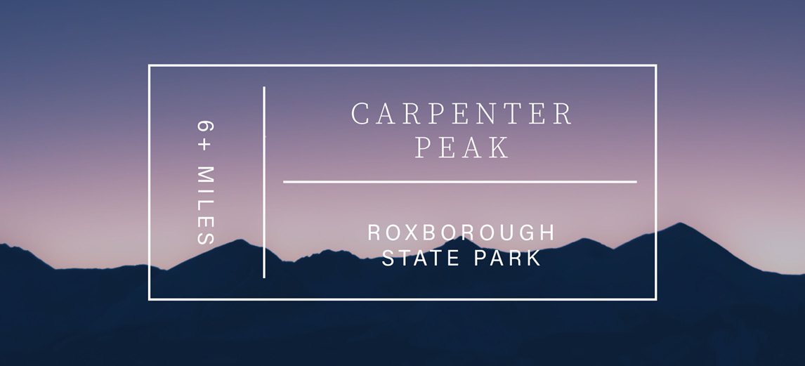
Carpenter Peak
- Difficulty rating: Moderate
- Distance from Denver: 30 miles / 50 minute drive
- Loop trail
- Distance: 6.4 miles round trip
About Carpenter Peak
Carpenter Peak trail in picturesque Roxborough State Park is an exceptional getaway from the city; yet is only a 40 minute drive from Denver. This Colorado state park is a purist’s dream since hikers are the only recreational enthusiasts allowed on the park trails. If you have a dog, you’ll have to leave the pooch at home along with the mountain bikes and horses. The arresting landscape is punctuated with red rock formations, similar to what you’ll find at Red Rocks. And there is a wealth of wildlife including mule deer, bear, red fox and 145 species of birds. The trail to Carpenter Peak is a little over 6 miles round trip and the trek offers moderate to steep terrain. After taking in the stunning views from atop the peak (7,205 feet), you can continue west a bit further before circling back on the Carpenter Peak/Power Line/Elk Valley Loop that winds back to the trail head. It’s a cherished hike you’ll never forget.
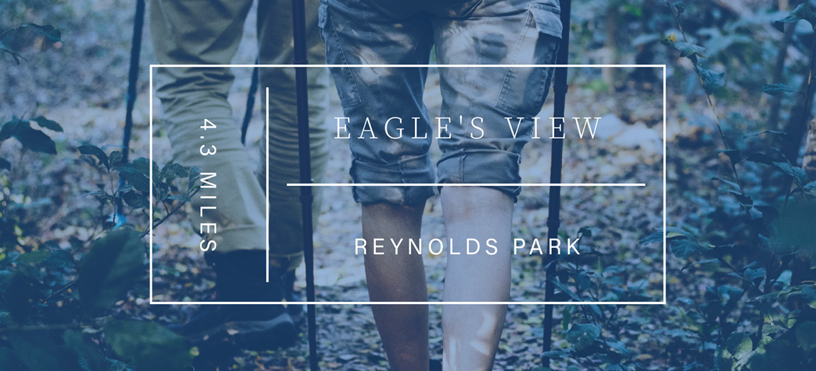
Eagle’s View Loop at Reynolds Park
- Difficulty rating: Moderate
- Distance from Denver: 37 miles / 30 minute drive
- Loop trail
- Distance: 4.3 miles round trip
About Eagle’s View Loop
Close to Conifer, see the map for the loop here. Bring your fur baby on this trip. Find the start of this trek at the Reynolds Trailhead.
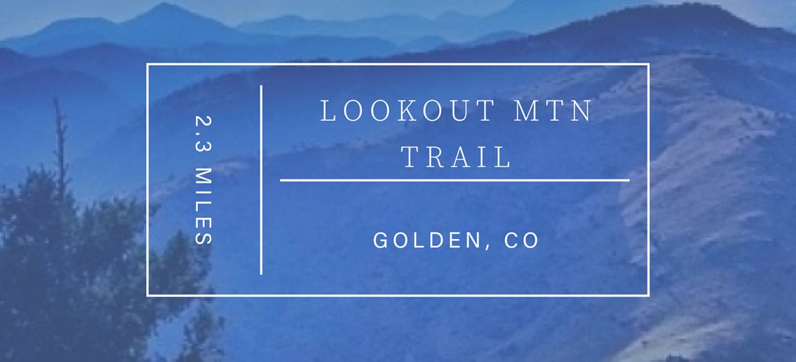
Lookout Mountain Trail
- Difficulty rating: Easy
- Distance from Denver: 20 miles / 30-minute drive
- Distance: 2.3 miles round trip
- Dogs Allowed
About Lookout Mountain Trail
The beautiful drive up Lookout Mountain alone makes the trip worth it. Located near Golden, the Lookout Mountain Trail is relatively easy with less than 700 feet in elevation gain.
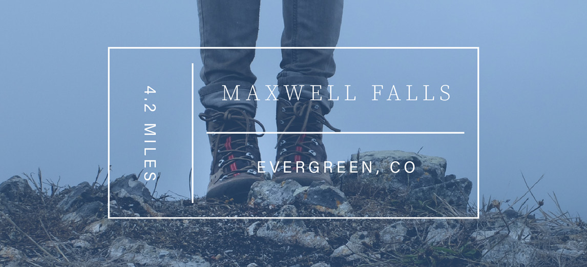
Maxwell Falls
- Difficulty rating: Moderate
- Distance from Denver: 32 miles / 50-minute drive
- Loop trail
- Distance: 4.4 miles round trip
- Dogs allowed
About Maxwell Falls
If you find your way to Evergreen, this is a pretty wonderful hike to cross off your bucket list. It is a popular trail so you may want to go early in the morning. This hike also offers some options, a 1-mile hike, a 3-mile loop, and a 4-mile trek. If you manage to make it the whole 4 miles, you will be rewarded by seeing two small waterfalls as well as Upper Maxwell Falls. Be prepared to pack it in and out as there are no trash cans on-site, and the area has suffered from hikers leaving behind trash.
If you are planning on doing the whole loop, Day Hikes Near Denver recommends parking at the lower parking lot “and hike up the valley and along Maxwell Creek for about 2 miles. About 1.7 miles along the trail, you’ll cross to the other side of the creek. Shortly after that, you’ll hear the falls. Return the same way you came.”
Apex Trail
- Difficulty rating: Most difficult
- Distance from Denver: 19 miles / 29-minute drive
- Type of Trail: Out and back or loop via Enchanted Trail
- Distance: 2.8 (point-to-point); 5. 7 miles round-trip via Enchanted Trail
About Apex Trail
Three Sisters Loop
- Difficulty rating: Moderate
- Distance from Denver: 30 miles / 40-minute drive
- Type of Trail: Loop
- Distance: 6.7 miles
About Three Sisters
This popular hiking trail provides plenty of scenic views and elevation gains. Located outside of Evergreen, this location is dog friendly (on leash) and offers beautiful vistas. Make sure you get an early start as foot traffic can be heavy.
Beaver Brook Trail/Beaver Brook Watershed
- Difficulty rating: Most difficult
- Distance from Denver: 20 miles / 26-minute drive (take the Chief Hosa exit)
- Type of Trail: Out and back
- Distance: 10 miles
About Beaver Brook Trail
This dynamic trail just off I-70 is designated hiking only so you won’t have to worry about bikers in the area. Be prepared for a challenging hike and be equipped with food, water, and a map. There are very few trail markers along this picturesque section of the Watershed.
Mt. Galbraith (via Cedar Gulch Trail)
Difficulty rating: Moderate
Distance from Denver: 18 miles (29 minutes)
Type of trail: Loop
Distance: 4 miles
About Mt. Galbraith
This is another hiker-only trail that features steep, rocky trails and commanding views of Golden, the plains and the Continental Divide. Mt. Galbraith is a 7,260-foot peak that the trail encircles. The trail joins up with other trails in the Mt. Galbraith Open Space.
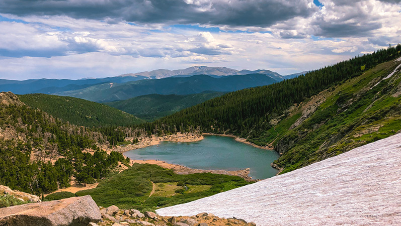
Chicago Lakes
Difficulty rating: Moderate
Distance from Denver: 46 miles / 60-minute drive
Type of trail: Out and back
Distance: 9 miles
About Chicago Lakes
Part of the Mt. Evans Wilderness area, the Chicago Lakes trail is a very popular year-round route. At the end of the hike, you’re treated to the beautiful Upper and Lower Chicago Lakes, and views of the 13,000-foot peaks Mt. Warren and Rogers Peak. For a longer hike you can continue hiking south to Summit Lake and go on up to the summit of Mount Evans. Just be prepared with adequate clothing and water. The hike up to Summit Lake is very steep.
What is your favorite hike around Denver? Leave us a comment below!